The region is extremely rich in historical monuments: in the Zagrad area - the remains of a Thracian settlement and the ruins of a medieval fortification, between the Ritli - the ruins of ancient and medieval fortifications (Koritengrad), Shishmanovo Kale on the right bank opposite Zagrad. In 1871, visiting the remains of the fortress, the Austro-Hungarian traveler Felix Kanitz wrote: "Skilled in everything, the Romans were not slow to use the natural features of the area here either. Through solid buildings, they closed the solid corridor between the rocks on both sides, turning it into a strong military fortress with two spacious courtyards, which they used as a residence for the garrison. The local population calls this fortress Koriten grad". The Turks destroyed the fortress, but in an Ottoman document from 1479 we find the settlement Koriten listed as a timar with 8 households. In the 17th century, its inhabitants dispersed in different directions, some of them moving to the opposite bank of the Iskar River (the right bank) and founding the present-day settlement of Lyutibrod. Due to its proximity to the Cherepish Monastery, there was no church in the village after the destruction of the medieval church "St. George" near Ritlite. Until the Liberation, the river was crossed by boat (ladiya), as described in Vazov's story "A Bulgarian Woman". At the end of the 19th century, a wooden bridge was built near Ritlite. This bridge existed for several decades before being replaced by a reinforced concrete one. Now parts of the wooden columns of the old bridge can still be seen at low water in the waters of the Iskar near Ritlite.
The local livelihood was mainly agriculture. They mainly raised sheep and, to a lesser extent, goats. A significant change in the life of Lyutibrod was brought by the construction of the railway line. During the construction, hundreds of workers from the Defileto were engaged. Many of them then continued to work at the Bulgarian Railways. Many of the people in Lyutibrod also went to work at the enrichment factory in Eliseyna. From the beginning of the 20th century until the 1970s, the village's population fluctuated between 1,110 and 1,350 people. Now there are just over 200 people left.
HOW TO GET THERE
- Train
- Car
11 км от гр.Мездра
17 км от гр.Враца
97км от София по Е79 и магистрала Хемус
88км от София по път II-16 (по Дефилето)
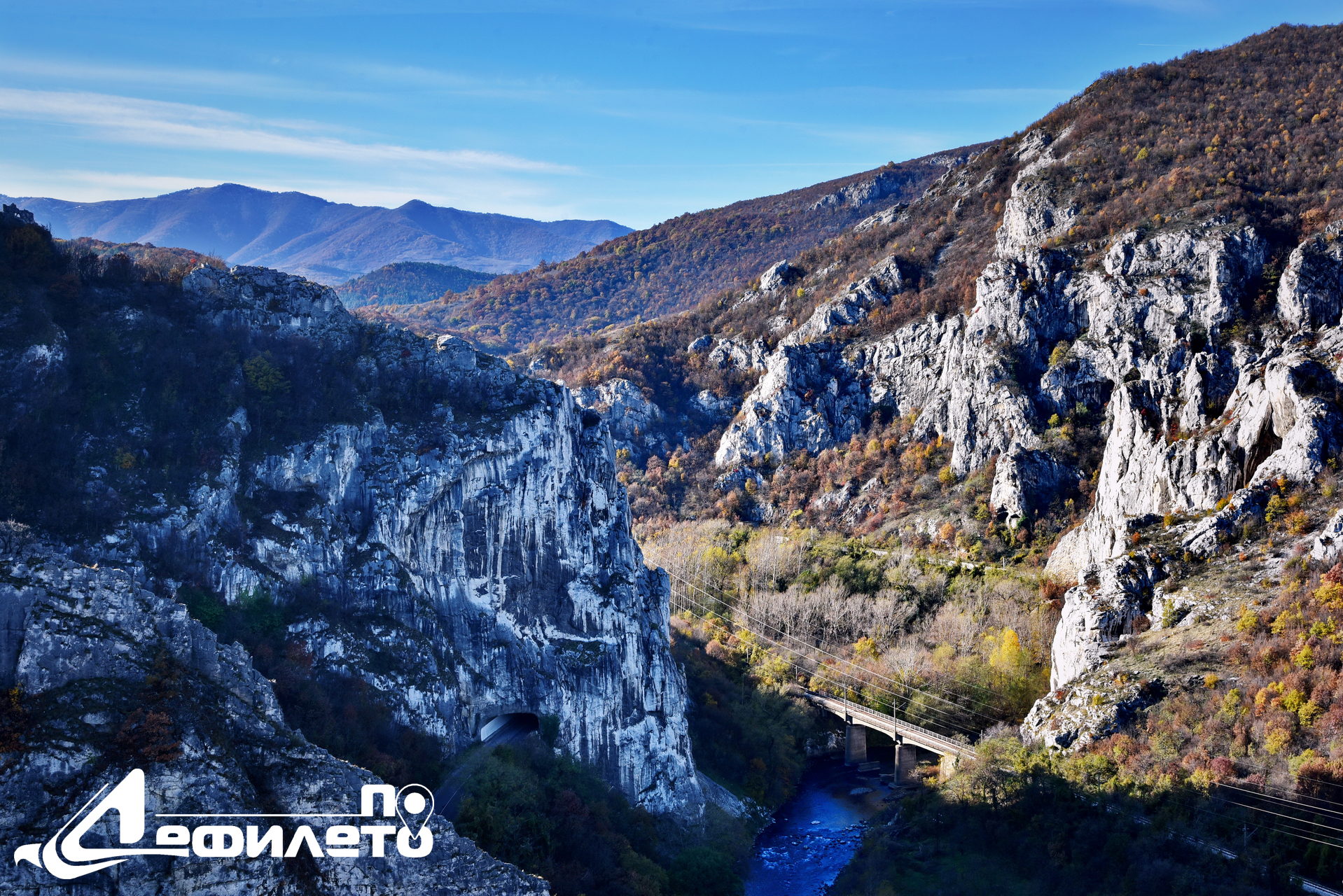
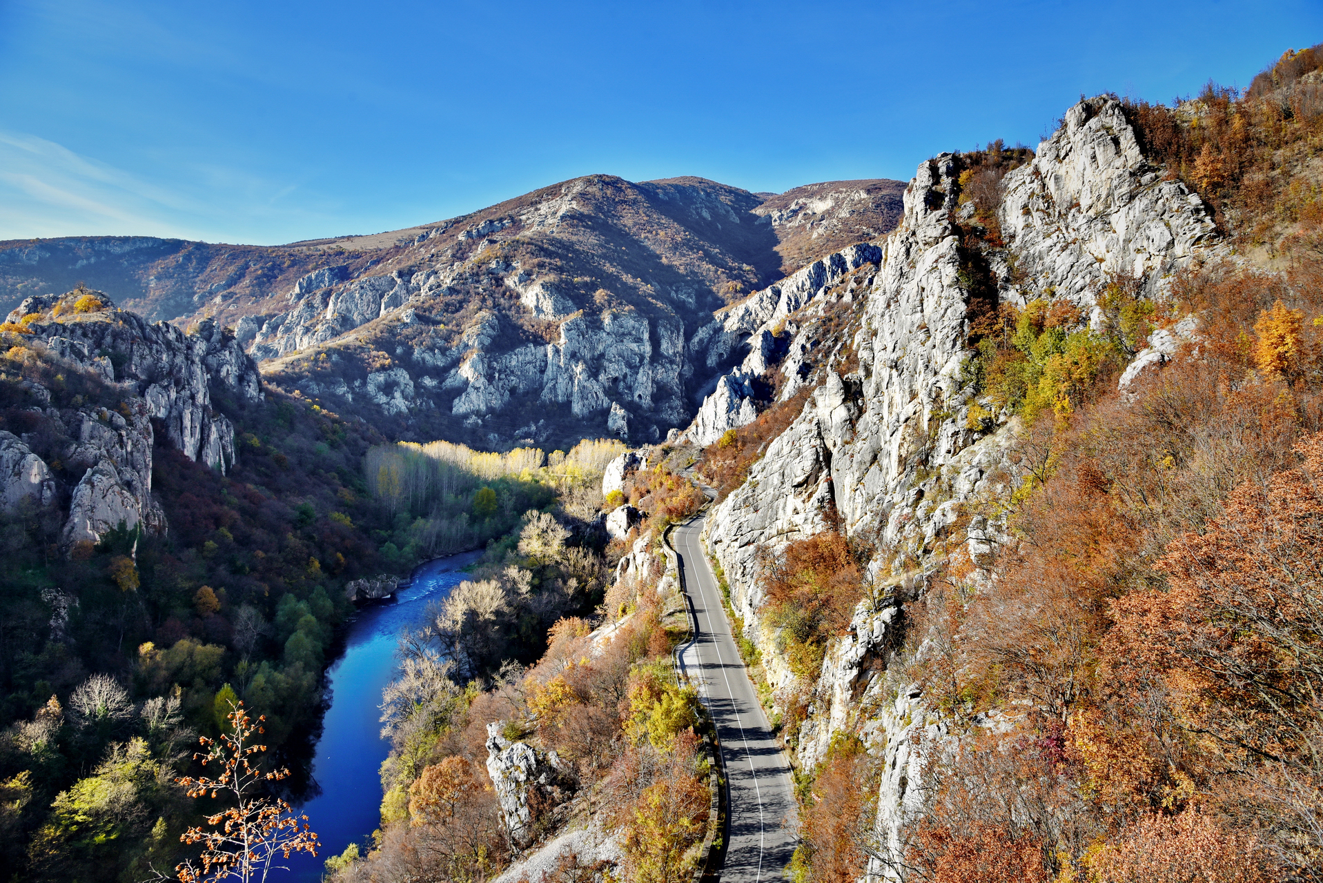
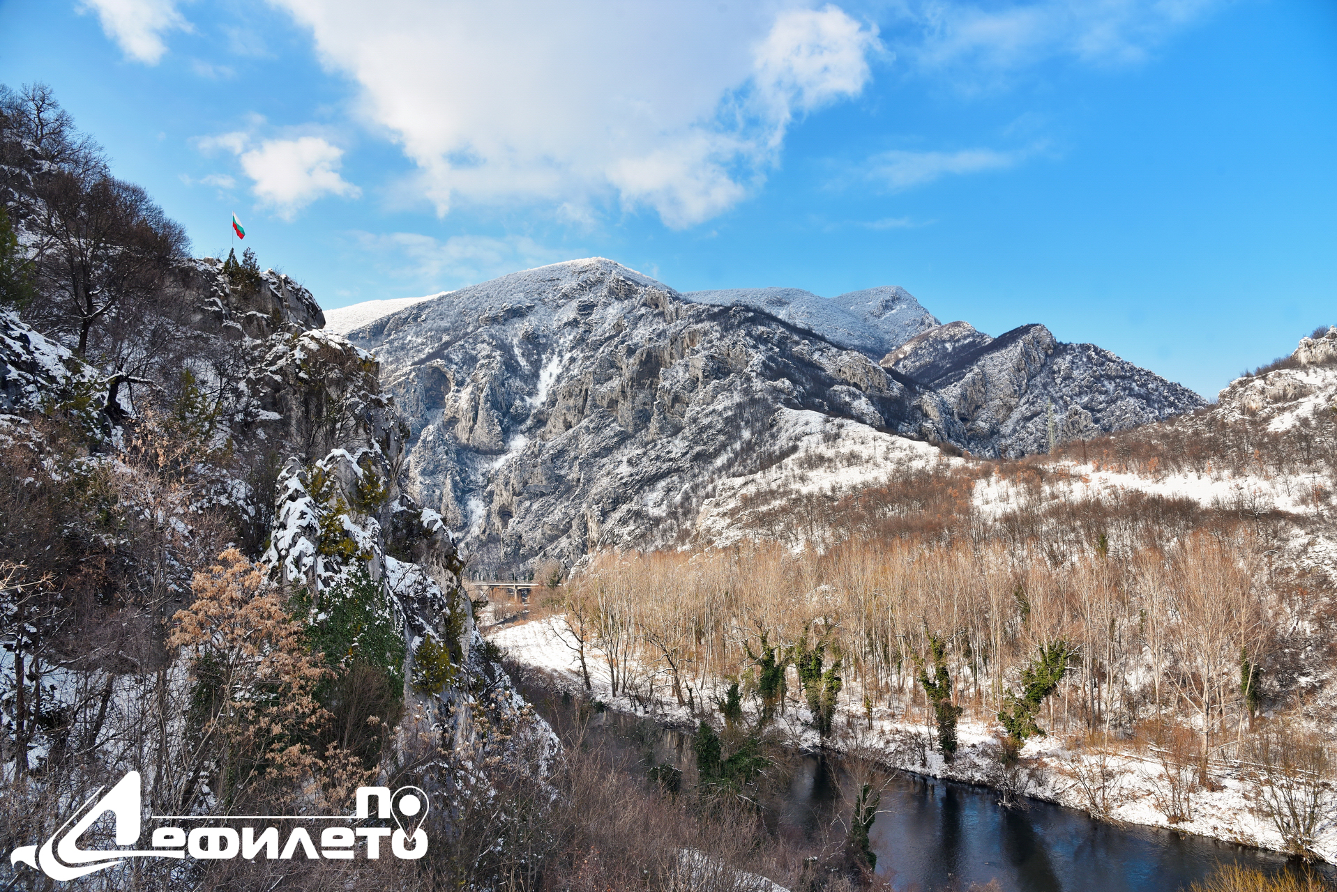
The village is located on the steep slopes of both banks of the Iskar River next to the rock phenomenon Ritlite. Here is the fastest (difficult to cross) ford on the river, from which the village got its name. Until the Liberation, it bore the Turkish name Gechidköy or Gechid köse (from "gechit" - ford). The locals explain the name Lyutibrod by the fact that the river annually claimed victims from those crossing the ford - "a fierce, dangerous ford".
-
read more
Medium stone (round)
Lyutibrod village – Krasta – Zverino village
Lyutibrod village – Cherepishki monastery
Lyutibrod village - Rashov dol - Chelopek village
Login


0
Leave your comment here...x